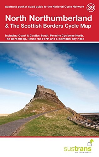
This is in the series of pocket sized, folded maps to the National Cycle Network which include clearly mapped on-road and traffic-free paths, easy to read contours and detailed town insets. Published by Sustrans. 1:110,000 scale; folded 155mm x 99mm; flat 792mm x 630mm.North Northumberland & The Scottish Borders Cycle Map (39) including Coast & Castles South, Pennine Cycleway North, The Borderloop, Round the Forth and 5 individual day rides.
Trustpilot
4 days ago
1 day ago
