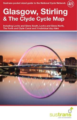
This is in the series of official pocket sized, folded maps to the National Cycle Network which include clearly mapped on-road and traffic-free paths, easy to read contours and detailed town insets. The series is published by Sustrans. 1:110,000 scale; folded 155mm x 99mm; flat 792mm x 630mm.Glasgow, Stirling & The Clyde Cycle Map. Including Lochs and Glens South & North, The Forth and Clyde Canal and three individual day rides.
Trustpilot
3 days ago
2 weeks ago
